The section of the Pennine Way from Alston to Greenhead is generally accepted to be a complete and utter waste of time. Even fans of the Way don't think much of the zigzagging track that plods across farmland and boggy commons; I know this because Barry, my fellow End-to-End walker from Street and Bewdley, turned up at Alston Youth Hostel last night and he doesn't have one good thing to say about the Alston-Greenhead walk. When I did it back in 2000 I hated it; my knees hurt from the descent of Cross Fell and when I walked I compensated so much for the pain that I ended up damaging the tendon in my right foot. I didn't know it as I slogged through the bog into Greenhead, but that was to be my last day on the Way; I woke up the next morning unable to walk and I had to give up and return to London. I wasn't sad, as by this time I'd had quite enough of the idiocy of the bloody Pennines, but it left a deep impression, an impression that when the Pennine Way wants to suck, it sucks hard.
That's why I didn't touch the Pennine Way with a barge-pole today, and the sense of relief is palpable. The skies opened yesterday as I enjoyed a rest day in Alston, and they stayed open all day today as well; rain turned into showers and then downpours before a steamy respite, but I didn't mind too much because the track I took, the South Tyne Trail, turned out to be a motorway.

The South Tyne Trail is a new kid on the block and some sections were still being built as I set off from Land's End, so although it was a bit of a gamble as to whether it would be any use to a walker like me, the gamble paid off. The trail follows an old railway line for the entire distance from Alston to Haltwhistle, which means there are no steep gradients and, as with the Camel Trail down in Devon, large sections of it have been designed for bicycles, making the surface flat, easy to walk on and free of such delights as bog, flagstones or rocks. OK, it doesn't end up in the same place as the Pennine Way so it's only partially useful for those looking for a shortcut to Greenhead (which is a few miles west-northwest of Haltwhistle), but I'm not walking the Pennine Way, I'm walking from Land's End to John o'Groats, and I can flirt with any trails I like. And the South Tyne Trail, I like.
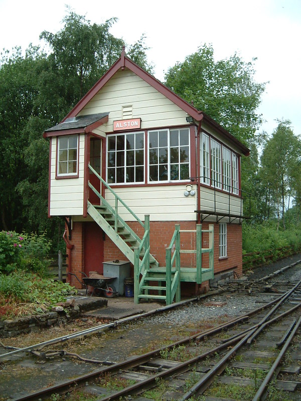
Sure, the first few miles are a bit of a drama, because from Alston to just beyond the border with Northumberland the railway is still very much present and correct; indeed, the sign at Alston boasts that this is Britain's highest narrow gauge railway, which is no doubt quite a thrill to those who care about track widths. The path is there too, to the side of the rails, but the section to the county border is so choked with grass that in this rain it's like swimming through a sea of kelp. Luckily the Northumberland authorities seem to have possession of the area's only strimmer, because north of the border the path is exemplary – and mostly rail-free – all the way to Haltwhistle. But even the kelp on the Cumbrian side doesn't spoil things; after all, whenever the rain kicks in or the grass drags against your feet, you can console yourself that at least you're not on the bloody Pennine Way.
Haltwhistle

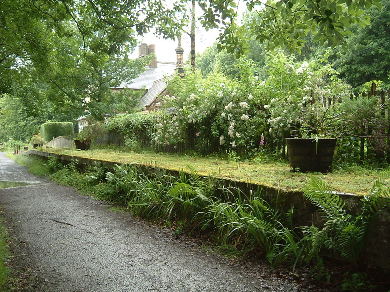
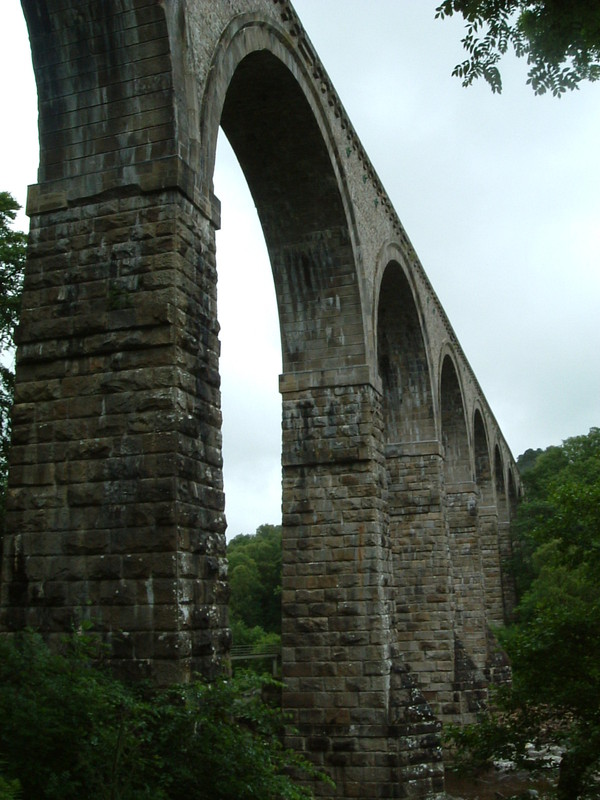
The walk was uneventful, flat, easy and over before lunch. There are some great spots, especially the old train stations which stand there with their empty platforms, presiding over station houses that have long since turned into highly desirable private residences. One station, at Lambley Viaduct, is closed off to the public and the South Tyne Trail takes a short detour around the old building, but apart from that the trail faithfully follows the route of the old track, and with the stations, viaducts and bridges still very much recognisable as their former selves, walking the trail is a bit like being an incredibly slow, ponderous train.
I arrived in Haltwhistle early enough to stand in the middle of town with my mouth hanging open, because according to the display in the middle of the town square, Haltwhistle is at the centre of Britain; this means I've walked from one of the most extreme points of mainland Britain to the centre, which is really something. I'm going to conveniently ignore the fact that nobody seems able to agree on where the centre of Britain really is; Haltwhistle claims that it's at the centre, but then again so does Dunsop Bridge in Lancashire, not to mention the spot a mile southeast of Coton-in-the-Elms in Derbyshire. The problem is that there are so many different ways to calculate the centre of a country that you end up with loads of contenders, but Haltwhistle is the only one with a big board in the middle of the town that describes exactly why they think they're in the middle, and when you consider that Haltwhistle is home to the Centre of Britain Hotel, the Centre of Britain Restaurant, the Centre of Britain Gallery and – wait for it – the Centre of Britain Launderette, it's probably fair to say that Haltwhistle deserves a special award for effort.