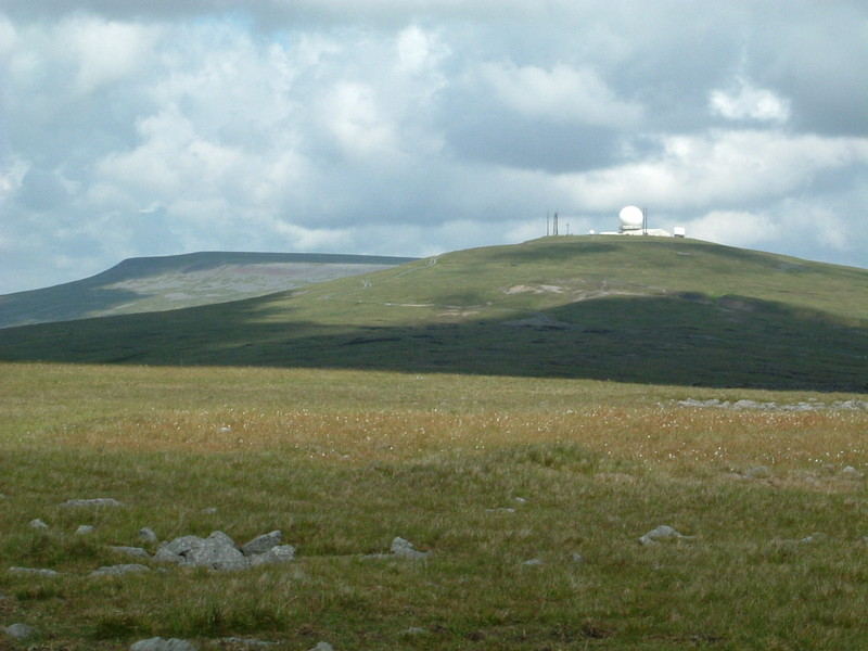
I think this is the point where I conclude that I simply don't get the Pennine Way. The journey from Dufton to Alston goes over the highest point of the Pennines – at 893m above sea level, Cross Fell is also the highest point of my planned route from Land's End to John o'Groats – and for most people this part of the walk is a highlight... but I'm afraid it just leaves me cold. It can't be down to the lack of punchlines because last time I walked over Cross Fell the visibility was so terrible I couldn't see my feet, let alone what I was walking across; no, I'm afraid it's just another section of the Pennine Way that fails to light my fire.
From Dufton it's a long, long climb back up into the Pennines. Dufton lies at 180m above sea level and the first peak of the day at the top of Green Fell is over 600m higher up a steep mountainside path, but throughout the climb the view over the Eden Valley to the west gets more and more impressive, with the distant peaks of the Lake District slowly homing into view on the horizon. I was more obsessed by the dark clouds lurking over the peaks we were heading for, but I kept my fingers crossed for good weather; Cross Fell is no place to be caught in the wind and rain, something I know from bitter experience.
Luckily there is one thing on the top of the Pennines that's enough to keep an imaginative sort like me occupied for ages. In its journey to the top of Cross Fell, the Pennine Way goes over two neighbouring hills; 790m-high Green Hill is the first summit of the day and is home to a large cairn and precious little else, and Great Dun Fell, the second summit, is slightly higher at 848m. But Great Dun Fell isn't interesting for being just a few metres short of its neighbour, Cross Fell; instead it's interesting because of the golf ball on its summit.
I've mentioned the golf ball before; I could see it from Great Shunner Fell between Hawes and Thwaite, and it was conspicuous by its absence on my first ascent over this part of the Pennines in 2000. Back then the pea-soup cloud that swirled round the peaks blotted out absolutely any sign of the golf ball, and the only reason I knew it was there was because the guidebook recommended I use it as a direction finder, pointing out that it's always visible 'except in white-out conditions.' Today I could see what the author meant; you can't miss it, especially when the sun lights up the hilltop.
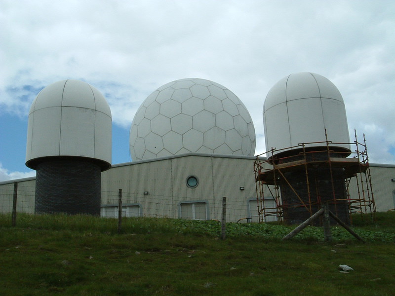
The official Pennine Way guidebook is scathing about the negative aspects of the golf ball, even though it's used for commercial rather than military aviation, but I found it beautiful. I've always enjoyed the clash of mankind and Mother Nature, and I particularly like it when the combination is intriguing. The sight of a perfect white globe glowing on the top of a desolate Pennine mountain is bizarre, but it's bizarre in the same way as a glass pyramid outside the Louvre or a huge Ferris wheel opposite the Houses of Parliament. As Matt and I padded uphill, slowly getting closer to the radar station, more and more details of the surrounding buildings swam into view, and every few steps it looked like something new. The vertical antennae posts on either side made it look like the Taj Mahal interpreted by a 1970s architect; next it was a massive insect egg, the fine lines between the jigsaw sections looking from a distance like veins; then it reminded me of the bouncing white balls from The Prisoner; and eventually, as I came over the brow of Dunfell Hush, it turned into a full-blooded radar station sitting on top of the Pennines.
The amazing thing was how I managed to miss it the last time I was here. The Way goes right past the wire fence that surrounds the golf ball, and it's huge; when I stood here last time, nose pressed to the barbed wire, I couldn't make out a thing except for the hazy outline of a building somewhere beyond the barrier. It turns out that this was the building on which the golf ball sits, and yet I still couldn't see anything. It must have been astoundingly cloudy the last time I was here, but this time the golf ball was not only visible, but the ever-changing floorshow kept me going all the way to Cross Fell, the next peak in the chain.
Fiend's Fell
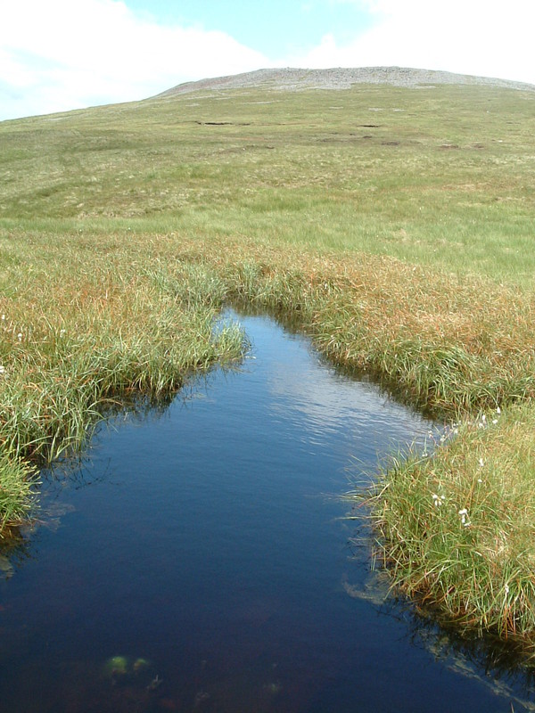
As summits go, Cross Fell is disappointing. The top is large and flat, and the summit itself is only obvious because it's home to a large stone wind shelter in the shape of an X, built to shelter walkers from the high winds that lash the area for most of the year. The views to the west are impressive, though, especially on a clear day like today; the peaks of the Lake District are visible in the distance and they look stunning, but even with such a pretty view the top of Cross Fell is not a pleasant place to be. It's easy to see why people used to call it Fiend's Fell, believing that evil spirits lived here; it's desolate, featureless, unremitting and utterly barren, and even behind the stone walls of the wind shelter it's hardly a relaxing place, so even though our arrival at 12.30 was comfortably ahead of schedule, we hurried through lunch and didn't hang about for too long.
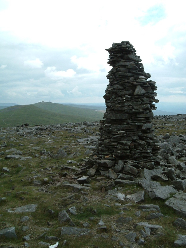
Unfortunately the descent crosses yet another featureless moor that seems to go on forever. The view from the golf ball over Milburn Forest to the east is one of rugged landscape; round here the word 'forest' doesn't have anything to do with trees, but refers to an area of land that was once set aside for hunting by the gentry. In other words 'forest' normally means 'moor', and from Cross Fell the Pennine Way heads east to skirt the northern flanks of Milburn Forest. It's a forbidding prospect. Again.
I think this is where fans of the Pennine Way and I must beg to differ. They adore these swathes of moorland and harp on about the beautiful birds and landscapes, but I don't get it; I've had lapwings tootling around my head, I've seen curlews peeping through the bush and I've scared plenty of grouse and pheasants into noisy flight from the heather, but I still don't like the moors. I've trudged through the rain, I've sweltered through searing sunshine and I've walked under overcast skies, but I still don't like the moors. I've tried the murky brown moors of Bodmin, the shrouded flanks of Dartmoor, the black moorland of the Derbyshire Dark Peak, the Brontë-inspiring moorland of Yorkshire and the high moorland of the Pennine summits, and I still don't like the moors. I think I'm entitled to say that I've gone in there, done a lot of walking and had time to make an informed opinion: I don't like moors.
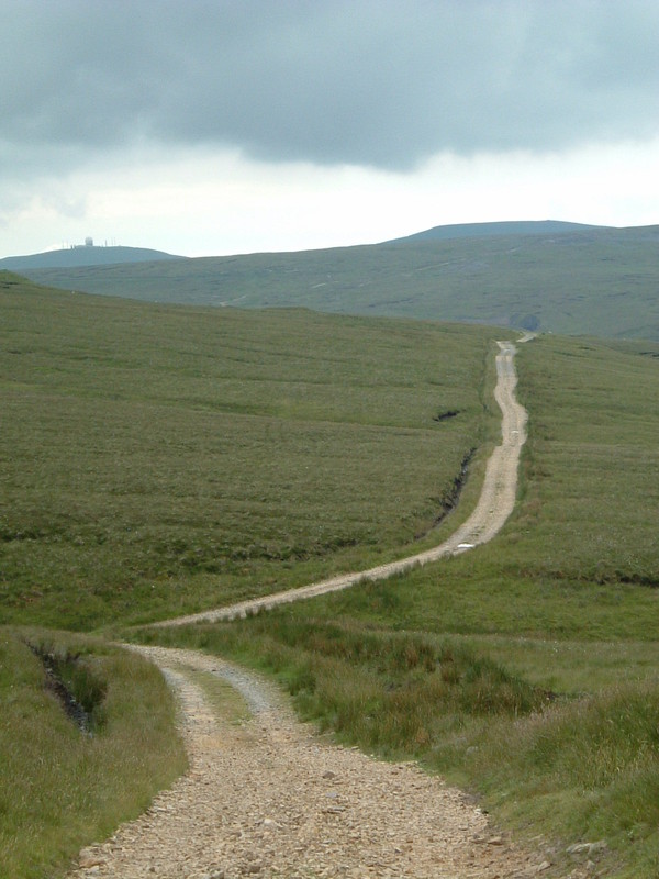
The problem is that the Pennine Way does insist on going right through the middle of any moor within spitting distance. So far there have been some lovely sections – the Yorkshire Dales from Malham to Keld are great, Teesdale is gorgeous and High Cup Nick would make an excellent day walk – but the majority of the Pennine Way is turgid and I can't help feeling that the Way is little more than a long walk for the sake of being a long walk. It would make such a brilliant collection of day walks; why spoil it by filling up the gaps with rubbish like the walk from Cross Fell to Garrigill?
Perhaps this difference in outlook is best summed up by the sheep. I'm sure fans of the moorland don't have much of an opinion when it comes to sheep bleating away on the fells; if they do, they probably enjoy it as another wonderful sound of Mother Nature's backyard. But to me the sheep on the flanks of Cross Fell didn't sound like the happy chatterers of the lowlands, where the sheep are like old people gossiping in the Post Office queue on pension day; no, to me the sheep on Cross Fell sounded as if they were calling out to their children, their voices trembling on the edge of panic. Perhaps it was the effect of the desolate landscape, but all I could picture was a little lost lamb huddling behind a heather bush and calling out for its mother, alone in the middle of this harsh, demanding landscape. To me this place isn't beautiful, it's a place where even the sheep have a terrible time, where little lambs get lost and where the fiends of Fiend's Fell are still very much alive.
Like I said, I don't like moors.
Sustenance
It takes hours to walk down the stony track that starts just below the summit of Cross Fell and winds for miles through the moors. It's an awful walking surface, with rocks everywhere and a heather verge that's too thin to walk along, but at least I already knew what to expect, so I just got on with it and walked. Luckily I'd warned Matt about how this part seemed to go on forever, and having company along the way helped immeasurably; indeed, although it took a long, long time to reach the village of Garrigill it wasn't as hard as either of us had expected.
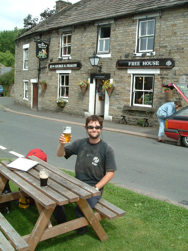
Incredibly the George and Dragon pub on the pretty village green was still serving as we walked in at 3.15 – last orders were at 4pm, which isn't bad for a Sunday – so Matt tucked into a pint of Guinness while I sampled the 4.2% delights of a pint of Hop Back Crop Circle. I can't tell you how enjoyable it was to be tucking into a pint of refreshingly light ale on a sun-drenched village green, especially after the Mordor we'd just crossed; indeed, that pint was easily the highlight of the day, which says a lot about Cross Fell.
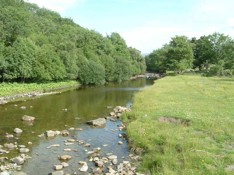
Luckily the next couple of miles along the River South Tyne were equally wonderful, with the river babbling along its stony bed in a conversational manner that contrasted pleasantly with the more forceful Tees of two days ago; at this stage the South Tyne has beautifully clear waters, and after days of peaty rivers and brown moors, walking along the banks was as refreshing as the Crop Circle I'd just quaffed. Sure, the last few miles into Alston dragged on a bit, mainly because the Way leaves the river and decides to trudge through an endless succession of boring farmers' fields, but I didn't care. I've conquered Cross Fell, I haven't injured my knees and I've finally looked the Pennine Way in the eye and decided that after all these miles, I can take it or leave it. From now on I'll use the Pennine Way when it's convenient, but as far as I'm concerned I'm once again concentrating on walking from Land's End to John o'Groats, and that's the important thing.